Coordenadas E/W en BMS
Joe is the men for that... I used his info to have TACVIEW ready for POH... but he have the knowledge of the conversion and coordinates tweak done for POH.
Cant help more than this, but I think it is not really doable.
Gracias, Revi por el aporte.
Si algún día se adapta BMS para poder gestionar longitudes negativas, volver a colocar las coodenadas anteriores en POH es muy sencillo.
Well, am only recalling this post from Joe, it seems to be very easy to move coords grid....
Yep... IIRC is a matter of changing a few files... not a big deal if you know what files needs to be changed. All the rest is related to this references, so no sweat.
Joe knows for sure which files need to be changed. I have an idea, but will miss some for sure.
Copy 3Balls, thanks for your help dimming the light... 
En efecto. Se abre Terrain Editor>Open Map Editor> Editar casillas:
-Longitud: -17 (en realidad sólo hay que editar esta casilla que ahora mismo su valor es 0).
-Latitud: 25
Y Save Map File.
Tambien habia que cambiar algo del weather,,, o para los cilcos solares o no se que rollos... puede ser?
Already did it in the last... I think 
Weather.ini file:
Thanks Joe.
The correction that am purposing is;
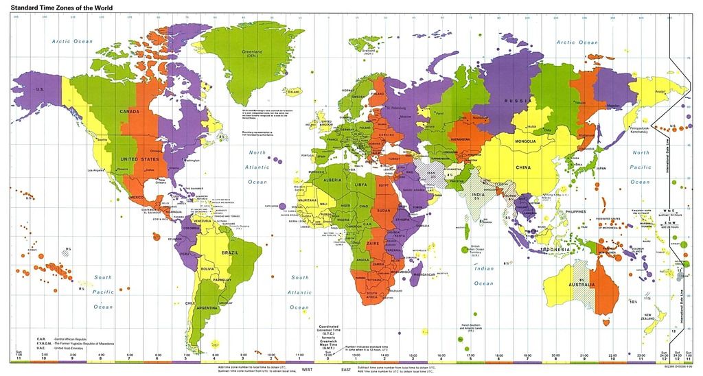
Latitude grid shift down:
0º36` or 0.55º in decimal coords (believe this is how falcon handles it)
Longitude grid shift left (assuming West translated to East):
2º07` or 2.11º
Will do some testing later today.
Flyway, las Navaids de POH 0.8.0 toman como referencia las coordenadas actuales (Longitud: 0 y latitud: 25). Tomé esa decisión en marzo de 2014 después de confirma la existencia de ese bug en BMS 4.32. Cambiar otra vez las latitudes y longitudes implicaría rehacer todo el trabajo de coordenadas GPS que constan en las Navaids.
BMS 4.33 no ha solucionado este bug y falcon sigue sin permitir coordenadas negativas. Lo más eficiente ahora mismo es dejar las coordenadas como están y realizar, como no, las correcciones de coordenadas cuando BMS permita coordenadas negativas.
Joe, understand your point and concerns. I could live with W/E bug, but Latitude could be readjusted to a more realistic position.
And believe me, redoing that NavAids table, is something very easy to do, and can assume myself for doing that.
Hi all,
Can you help me finding the coordinates of the corners of POH?
I mean cartezian coordinates... for the lower left corner and upper right corner... as believe these are the min and max ones.
Thank you.
Use MC...IIRC it shows the coordinates on the map screen.
Or wait till late today. I'll take a look.
Copy 3Balls, have tried MC, but it still gives me alot of "out of memory" errors, korean map in the box, didn't get much confident on seeing the right coordinates...
Will wait for your feedback and also try myself again, later today.
Thank you.
Cheers.
Top Right shows as 43,23.556N 025,13.424 E
Bottom Left 25N 000E
There could be a small error on this measures... but I don´t know for what are these coords needed... so I don´t know if the small error is a factor or not.
Keep it up!
Thank you very much 3Balls.
These will be required for the "Vortacs" implementing.
First will creat a tool for Cartezian <-> Falcon/Tile X/Y coords convertions.
How did you get these coords?
Believe that precision will sufice, but in any case... was it MC?